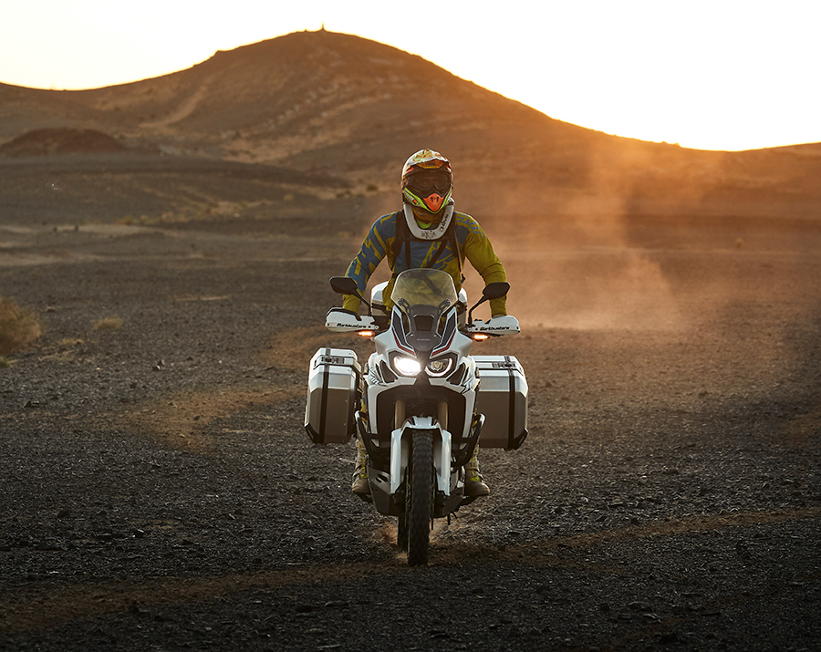
Every rider dreams about enjoying the Alps someday, with mythical destinations like Stelvio, Iseran or the Dolomites. But since any more or less complete Alpine tour requires at least one or two weeks of travel, we propose an alternative for those who only have four or five days for the trip. These are some very intense days in the Alps that differ greatly from one another.
The SHAD route through the Maritime Alps
We will head towards the Côte d’Azure to get to the so-called Maritime Alps. We load up the Terra TR40 on the Yamaha Teneré 700 we’re traveling on this time, and we’re off. Soft-sided cases are ideal, since we’re not looking for maximum load capacity (although we still have a maximum of 64 liters between the two), rather for light weight and versatility in this case. They’re also very secure, since they are locked onto their mount and have a double-closure system that prevents the saddlebags from being opened.
DAY 1
Leaving the highway behind
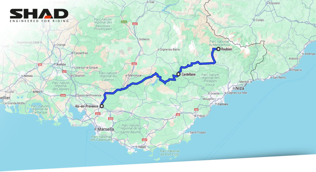
Tracing the southeastern coast of France, you come to Aix-en-Provence. From there, you will need to head towards road D952. You’ll be on one of the roads that goes by the Gorges du Verdon on the way to Castellane. These gorges have tons of curves and spectacular views.
We continue on the N 202 to Entrevaux, where there is a small, but charming museum dedicated to the history of motorcycles. From here, we head north on D28, until we reach D30.
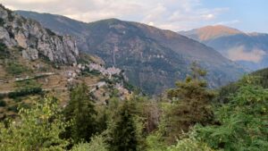
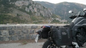
A few kilometers ahead, we will reach the little-known walled villa of Roubion, at the top of a cliff that is definitely worth a visit. We arrive at a small mountain hotel located in a tiny ski resort. Here, we choose not to remove the Terra TR40, and instead we simply take out the inner bags, seeing how extremely tranquil the area is. And of course, we enjoy the fantastic raclette they prepared for our supper.
DAY 2
The most intense loop
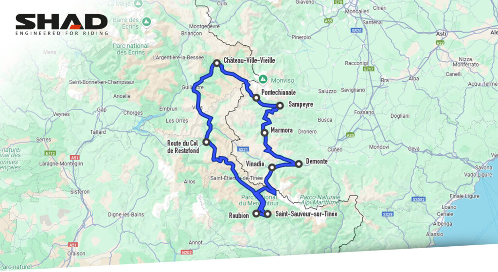
The next morning, we have a hearty breakfast. This was a good thing, as we have decided to tackle a marathon stage and complete a 415 km loop ending up back at the same Roubion hotel, but this means eight and a half hours of unending curves. It would be a good idea to split the stage in half and enjoy the sights and places to visit. For the more daring, in the summer it could be done in one day, as long as you don’t spend much time off the bike.
We continue on the same road we took the night before, which changes its name to M30 from this point on, until it connects to the M2205 in Saint-Sauveur-sur-Tinée. From here, we head north through the Tinée river valley, which we follow to the village of Saint-Étienne-de-Tinée, where we find ourselves at the foot of a colossus among the Alpine mountains, the Col de la Bonette.
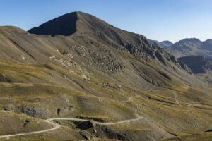
La Bonette, a giant
A climb of nearly 30 km awaits us, plagued with curves of all sizes, a ton of hairpin turns and very good asphalt, until we reach an elevation of 2,715 m. From there, we ascend to the “extra-bonus” stage, built expressly to make this the highest asphalted mountain pass on the continent, at 2,802 m (with the peak located at 2,860 m). Is this cheating a little bit? It doesn’t matter, reaching the monolith and experiencing the entire eastern half of the Alps is priceless.
Once we start to descend another 25 km, heading north through the mountain region known as Restefond, the landscape gradually changes as we pass by ancient military fortresses, plains with lakes that remain frozen year round (except in the summer) and spectacular forests before we arrive in Jausiers. To the left we would head towards Barcelonette, the most important town in the region and host every summer to the Alpes Motofestival, a true trail bike festival, which we invite you to attend next time and stop by to greet the SHAD team. We’ll be there! And if you want to want to establish this point as the end of the first half of the stage, splitting it in two, it is a great place to spend the night in its hotels, bungalows or campgrounds and enjoy the peaceful surroundings next to the river.
Castles along the way
We, however, continue north on D900, until reaching a detour to the left that connects to D902 (which is easy to miss!) and climbing to another beautiful mountain pass, Col de Vars. Lower and more relaxed, but with an extraordinary landscape. Note: you’ll find gas stations before and after the climb to the mountain pass.
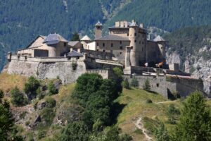
Staying on the same road, we cross Château-Ville-Vieille, from which we see a rocky hill where a fort named Château-Queyras was built. If you have time, it’s worth a visit.
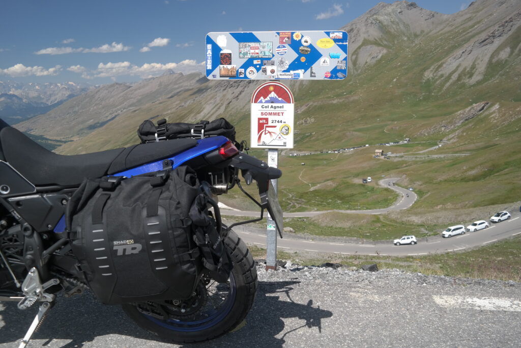
From there, past the urban center of Ville-Vieille, we continue on D205 until climbing another Alpine colossus: Colle Agnello, with its peak at 2,744 m and the border between France and Italy right at the top. There are two completely different environments on each side of the highest point of the mountain pass.
On Italian soil
Once in Italy, we descend on SP251 with a few spectacular hairpin turns at the start and some fantastic views thereafter, until reaching the villa Pontechianale, where it is worth taking a stroll down its narrow streets and getting something to eat in its charming restaurants. Continuing on the same road, we cross Monviso Natural Park to Casteldelfino, and take the SP105 to Sampeyre.
At this point, we take a sharp right to follow a narrow road crossing dense forests. It’s so remote that you’ll think you’ve made a mistake. Patience is key until reaching the top, Colle Sampeyre, which is usually shrouded in fog.
The roughest roads
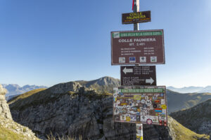
We travel down the main route to SP335: a series of curves and slow hairpin turns will lead us along SP422 to SP113, heading towards Marmora. From this point on, we recommend the route only for trail riders, because it is rough, dirty and strewn with pot holes, in addition to being very narrow. But a little after a “tortuous” section of just over ten kilometers is the highest point of this mountain pass, Colle d’Esischie. The road leads to a junction which, on the right, ends at the top of Colle Fauniera, a very special place, particularly for cycling enthusiasts, with a statue in honor of Marco Pantani.
Crossing borders once again
After an impressive descent down a road that is often only the width of a passenger car, we reach the town of Demonte. Here, to the left on SS21, is the Strada Statale della Maddalena, which we take to Vinadio. If you need a coffee break or to refuel, this is a good place. We turn towards the next town, Pratolungo, taking SP255 on to the next Alpine wonder: Colle della Lombarda, which climbs along a quite varied and almost always solitary route to the top at 2,351 m, where we are once again on the French border.
Now in French territory, the descent takes us to Isola 2000, a famous ski resort, and a little further on, to Isola, the town from which it gets its name. We travel on M97, with another nice set of hairpin turns of all sizes on the way down. We connect once again to M2205: this is the start of the loop we began a few kilometers after leaving Roubion, where we return to spend the night. But first, of course, they offer us an entrecôte, which we definitely deserve. Today we decide to take off the Terra TR40, which is quick and easy to do, without the inconvenient straps and buckles other bag systems have. A quick visual inspection of the bike, a check of the tire pressure and chain grease and we’re set for the last part of our adventure.
Text and photos: Luis Morales
